

Municipal Groundwater Supply Planning
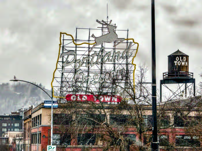
Portland, Multnomah County
Oregon’s municipal water systems are under greater regulatory scrutiny than at any point in the state’s history.
OWRD is denying more applications, scrutinizing existing rights, and requiring documented aquifer data that many smaller systems do not have. A water right on paper is not a guarantee of continued access. Independent hydrogeologic analysis is what supports continued access.
Source vulnerability
Is your source water vulnerable to drought, wildfire, or seasonal algal events?
OWRD application readiness
Do you have current hydrogeologic data to support your next OWRD application?
Growth projections
Has your aquifer been assessed against your community’s projected growth?
Long-term supply review
When did your system last receive an independent review of its long-term supply?
What we assess
Core service areas
Aquifer testing and yield analysis
Pump test design and interpretation, specific capacity analysis, groundwater level trend monitoring, and water balance estimation.
Source water and wellhead protection
Capture zone delineation, recharge zone mapping, wellhead protection area analysis, and source water protection plan development.
ASR, MAR, and infrastructure planning
Aquifer storage and recovery feasibility, managed aquifer recharge site investigation, new well siting, and independent technical review of infrastructure proposals.
Sustainability and long-term planning
Groundwater sustainability planning, demand and aquifer capacity projections, OWRD grant support, and hydrogeologic data packages for administrative proceedings.
Technical frameworks
Supply planning capabilities
Aquifer assessment and yield testing
Step-drawdown testing, transient recovery tracking, and specific capacity analysis to evaluate well performance and aquifer conditions. Pump test design, monitoring, and interpretation for new or existing sources.
Recharge zone and capture zone assessment
Capture zone delineation for drinking water permits, recharge zone mapping, wellhead protection area analysis, and source water protection plan development. Monitoring well network design and placement.
Stream depletion and drawdown modeling
Analytical stream depletion calculations and transient cone of depression analysis for OWRD applications. Technical hydrogeologic sections for permit filings and administrative proceedings.
Sustainability and infrastructure planning
Long-term groundwater sustainability planning, aquifer storage and recovery feasibility, managed aquifer recharge investigation, and aquifer stability screening against OWRD thresholds. Grant application support.