

Groundwater Due Diligence
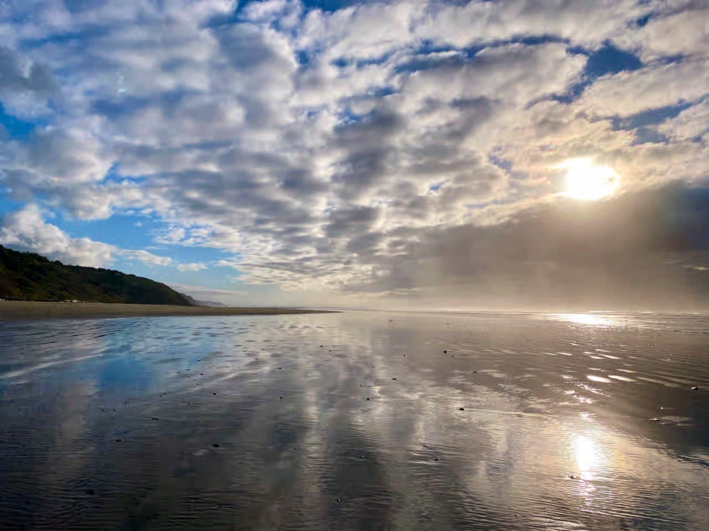
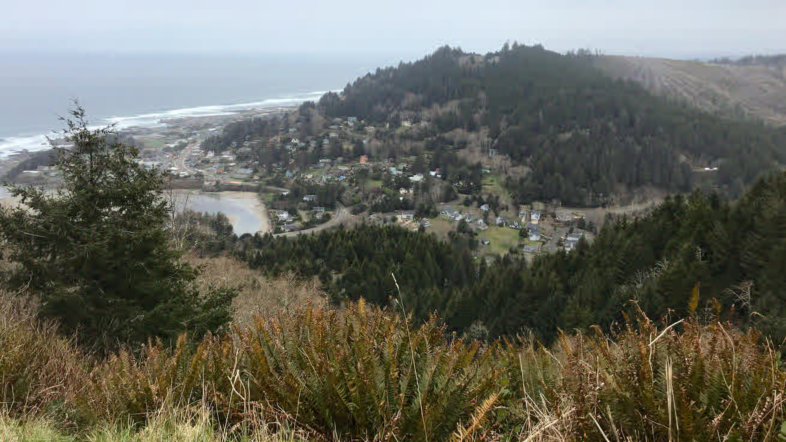
Yachats, Lincoln County
A standard property inspection does not assess the groundwater supply. Well yield, aquifer conditions, water quality, and water right status require separate investigation, since each impacts long-term value and usability of a property. A well that currently produces water is not, under Oregon law, the same as a recorded right to use it. Water right records must be reviewed independently of the physical well assessment. We evaluate both components and deliver findings in a single written report prior to closing.
Professional credentials
All research and analysis is conducted directly by a licensed Oregon Registered Geologist.
Subsurface analysis
Assessments address aquifer-level dynamics and regional decline trends, not only the individual well.
Water right records
Water right records are reviewed against OWRD’s database for priority date, permitted rate, and volume.
Written report
Findings are documented in a written report suitable for use in a real estate transaction.
Desktop assessments: 5–7 business days for domestic records review. 10–14 business days for agricultural records and NDVI analysis. Field investigation timelines depend on scope and scheduling.
“Access to clean, reliable water is essential” – Rep. Mark Owens

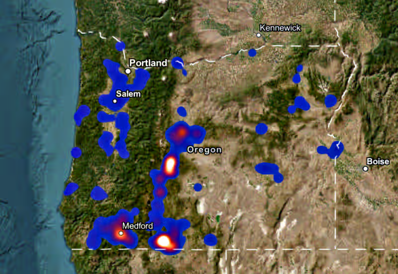
In much of Oregon, new groundwater appropriations are restricted or closed. Where a property has no water right, obtaining one is subject to current rules, basin restrictions, and water availability, and may not be possible.
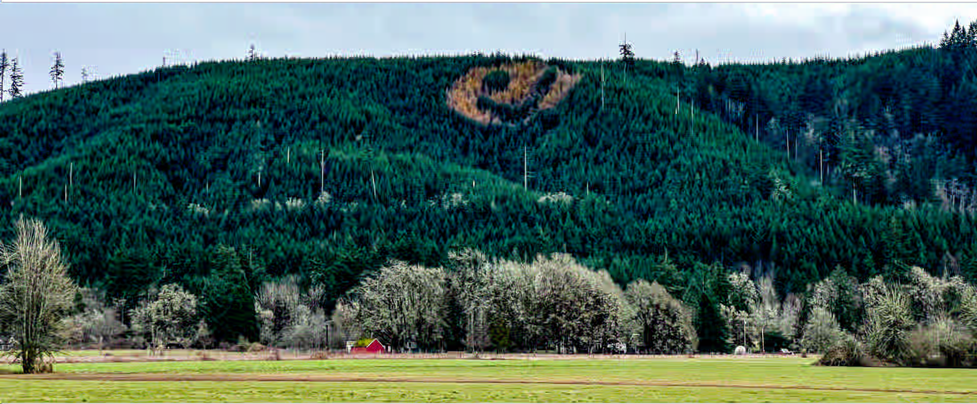
Smiley Face Hill, Polk County
Due diligence services
Well Production Report
Water supply is a frequent source of delay in rural Oregon transactions. Our Well Production Report provides an independent, documented assessment of well yield and water right status, prepared by a registered Oregon geologist and written for non-technical readers on either side of the transaction.
- ✓Well log review and construction records
- ✓Pump testing and yield measurement
- ✓Written report in plain language
- ✓Prepared by an Oregon registered geologist
- ✓Available for buyer or seller due diligence
Oregon regulatory framework
Limitations of Records Alone
OWRD records confirm whether a water right is on file. They do not confirm continuous use, absence of forfeiture risk, or transferability. Several assumptions commonly made in rural transactions do not hold under Oregon water law.
- ✕Change of use — use or place of use change requires an approved transfer, not only a property sale.
- ✕The five-year rule — rights unused for five consecutive years are presumed forfeited, regardless of whether the well produces.
- ✕Physical vs. legal — a productive well does not establish a legal right to use the water.
- ✕District concurrence — within a district, conveyance requires concurrence from both the landowner and the district.
Assessment services
Scope and typical turnaround
Hydrogeologic assessments structured to fit standard real estate contract contingency timelines across Oregon.
Domestic Records Assessment
Rural residential — desktop
Desktop hydrogeologic review of well records and aquifer conditions for residential buyers operating within a contract contingency window.
- ✓Well log and construction records from OWRD database
- ✓Water right records review — priority, rate, and volume
- ✓Critical groundwater area and basin restriction status
- ✓Aquifer trend analysis from regional monitoring data
Agricultural Records and NDVI Assessment
Farm and irrigation — desktop
Desktop assessment combining OWRD records review with satellite imagery analysis to evaluate water right status and irrigation history for agricultural transactions.
- ✓OWRD water right records review — priority, rate, and volume
- ✓5-year NDVI satellite irrigation activity analysis
- ✓Aquifer stability screening against OWRD thresholds
- ✓Basin restriction and curtailment area identification
Field Investigation
On-site — by scope and scheduling
On-site hydrogeologic investigation for buyers who require physical well data beyond what records and satellite analysis provide.
- ✓Downhole video inspection of casing, screen, and depth
- ✓Pump testing and yield measurement
- ✓On-site aquifer characterization
- ✓Well construction assessment and diagnosis
What you receive
The assessment report
Every assessment results in a written report from a registered Oregon geologist, including:
Spatial basin mapping
GIS overlays showing local OWRD monitoring wells, nearby surface water allocations, and administrative area boundaries relative to the subject parcel.
Long-term drawdown analysis
Statistical analysis of aquifer decline trends assessed against OWRD’s current 0.6 ft/year and 25-foot thresholds.
Registered geologist sign-off
Prepared and signed by a registered Oregon geologist.
How are fees structured?
Assessments are quoted at a flat fee based on project scope. Payment is due prior to delivery of the report.
What if the local basin lacks historical monitoring data?
If a parcel sits in an area without a nearby OWRD observation network, we compile a data insufficiency evaluation — mapping the closest available parameters and providing a localized baseline risk statement for the project file.
Does this report guarantee OWRD application approval?
No. We provide independent hydrogeologic documentation of existing site conditions and aquifer data. The report gives your team an accurate technical baseline before committing to non-refundable state filing fees — it does not constitute a regulatory determination.